Stony Brook Reservation West Roxbury: A Guide to Both Sides
August 20, 2026
August 20, 2026
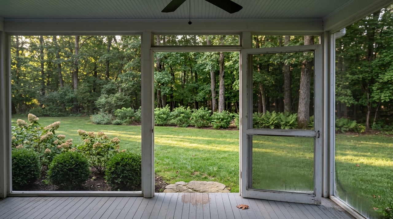
Stand at the top of Bellevue Hill Road on a clear August morning and you can see the split for yourself. To the north, granite ledges and oak canopy fall away into wetland you can hear before you see it. To the south, mowed sightlines run straight to the Connell Fields and the Bajko Rink, where somebody is always warming up for a game. Both halves carry the same name on the map. They do not operate under the same rules.
Most people who walk a dog or ride a bike through Stony Brook Reservation treat it as one continuous 475 acres of green space behind West Roxbury's back door. That is a reasonable assumption and it is not quite right. The reservation is managed as two distinct zones, and the difference between them explains a lot about why one section still feels genuinely wild while the other has been groomed for organized sport for decades.
The Massachusetts Department of Conservation and Recreation's management plan for the reservation designates Turtle Pond and the forests and wetlands east of the Enneking Parkway as Zone 1, the most restrictive stewardship category the agency applies to any of its properties. That designation exists because the area contains known habitat for a state-endangered species. It is not an accident that the trails around Turtle Pond feel less maintained than the ballfields a half mile south. It is policy. The same restrictive zoning applies to Mother Brook Reservation at its junction with the Charles River, protected for the same reason: rare wetland wildlife the state has decided is worth leaving alone.
That single fact reframes a lot of casual assumptions about the park. The scrubbier, rockier northern section near Turtle Pond isn't neglected. It is deliberately left closer to its natural state because a protected species depends on it staying that way. The manicured southern end, with its pool, tennis courts, and skating rink, was always meant for people first. Once you know which half you are standing in, the reservation reads differently.
Bellevue Hill rises to 338 feet, the highest natural point in the city of Boston. Mother Brook, at the reservation's southern edge, sits at 15 feet. The entire park exists on that gradient.
Stony Brook has carried a rough reputation in some circles for years, the kind that keeps people who live five minutes away from ever walking past the parking lot. That reputation is increasingly out of date. A community assessment on Trailforks describes the reservation as having been "impressively cleaned up" over recent years, crediting the DCR and a small group of volunteers with removing large hauls of trash and dangerous debris from the property. The paved doubletracks and family-friendly loops that exist today are the direct result of that ongoing work, not a fresh coat of paint on the same old park.
If your last visit was several years ago and you left unimpressed, that is worth revisiting. The trail network you'd find now is substantially different from the one that built the old reputation.
The reservation's roughly 475 acres hold enough named trail mileage that picking the wrong one for your group is easy to do. A few specifics help:
The point isn't that one trail is better than another. It's that the reservation contains genuinely different experiences under one name, and choosing badly is the easiest way to have a disappointing visit.
The granite tower on Bellevue Hill Road is easy to notice and easy to walk past without learning anything about it. Built by the Metropolitan Water Board in 1914 and 1915 to add drinking water capacity for the region, the tower replaced a smaller 1888 structure and stands atop the highest point in the city. Both the tower and Bellevue Hill Road are individually listed on the National Register of Historic Places, a separate designation from the reservation's own parkway system, which earned its own National Register listing in 2006.
A short drive or walk from the reservation's western edge, at 670 Baker Street, sits the Brook Farm Historic Site, the location of a Transcendentalist community founded by George and Sophia Ripley in 1841. The DCR adopted a new resource management plan for Brook Farm in June 2026, and one detail in that document is worth knowing if you have ever wandered there without quite meaning to: the plan notes that many trail users entering Brook Farm from adjacent Millennium Park are unaware they have crossed into a separate DCR property, because there is no signage marking the boundary. If you've ever kept walking past where you thought the park ended, that is why.
The reservation also functions as a working piece of the local birding calendar. Programs run in partnership with the Brookline Bird Club and the Walking City Trail have used the eastern side of the park for guided walks, with Bellevue Hill's elevation making it a genuine hawk-watching spot during migration seasons. New binoculars are not required. The point is that the reservation isn't a passive backdrop. People actively use it as a resource, on a schedule, in ways that have nothing to do with the ballfields.
None of this changes what most people already know: Stony Brook Reservation is close, it is large, and it is free. What changes is how you move through it once you understand that the north end is quiet by design and the south end is active by design, and that the park's smaller landmarks, a water tower and a Transcendentalist farmstead, carry their own histories worth a slower look.
For residents who have lived alongside this park for years without fully using it, that is the kind of local detail that makes a familiar place worth a second visit. And if the season ever comes when your own address in West Roxbury changes, whether you're weighing a move within the neighborhood or considering what a home near this kind of green space is actually worth, Joan Solomont has spent decades understanding how these details shape both daily life and property value here. Reach out for a complimentary market consultation when that time comes.

Reach out to Joan for expert real estate services. Buy, sell, or rent properties with confidence.
Get In Touch With Joan To Learn More

27 BOYLSTON ST STE 310 CHESTNUT HILL MA 02467